What does southwest monsoon withdrawal mean in India?
The seasonal rain-bearing winds retreat region by region, but rain can still fall after they leave.

Why India Looks This Way
On 10 October 2026, the India Meteorological Department said conditions were becoming favourable for the southwest monsoon to withdraw from more of eastern and northeastern India over the next two or three days. The same bulletin reported heavy rain in Bihar, north Tamil Nadu, north Kerala and coastal Odisha during the preceding 24 hours. It was forecasting a seasonal change while reporting rain that had already fallen. IMD, 10 October 2026 bulletin.
How can the monsoon be retreating while places are still wet? Withdrawal describes a regional change in the season's prevailing winds and moisture supply. Rain can still fall there the next day.
What is withdrawing?
In summer, a broad low-pressure area over northern India helps draw moisture-bearing winds inland from the southwest. The Arabian Sea and Bay of Bengal branches carry much of India's monsoon rain. As the season changes, that circulation weakens and reorganises. The rain-bearing southwest flow retreats unevenly from the northwest towards the rest of the country. NCERT, India: Physical Environment, Chapter 4.
IMD reports withdrawal area by area. Its line shows where the retreat has been officially declared. A forecast of further withdrawal does not move that line: the department must first observe the change. On 10 October, the declared line still passed through places including Supaul, Ranchi, Hyderabad, Belagavi and Panjim; withdrawal from more of the east and northeast remained a forecast. IMD bulletin, p. 1.
How does IMD decide?
IMD does not declare the first withdrawal from the extreme northwest before 1 September. It looks for five continuous days without rain over the area, an anticyclonic circulation in the lower atmosphere, and a marked drop in atmospheric moisture seen in satellite and upper-air observations. An anticyclone is a broad circulation associated with higher pressure; here it signals a shift away from the moist monsoon flow. IMD considers these signs together. One dry afternoon does not end the monsoon. IMD's operational withdrawal criteria.
Once withdrawal has begun, IMD looks for a connected advance into neighbouring areas, reduced moisture and five days of dry weather. Later, it declares withdrawal from the southern peninsula and then the whole country only after the southwesterly wind regime there has changed, and not before 1 October. The exact timing varies by year. IMD's operational withdrawal criteria.
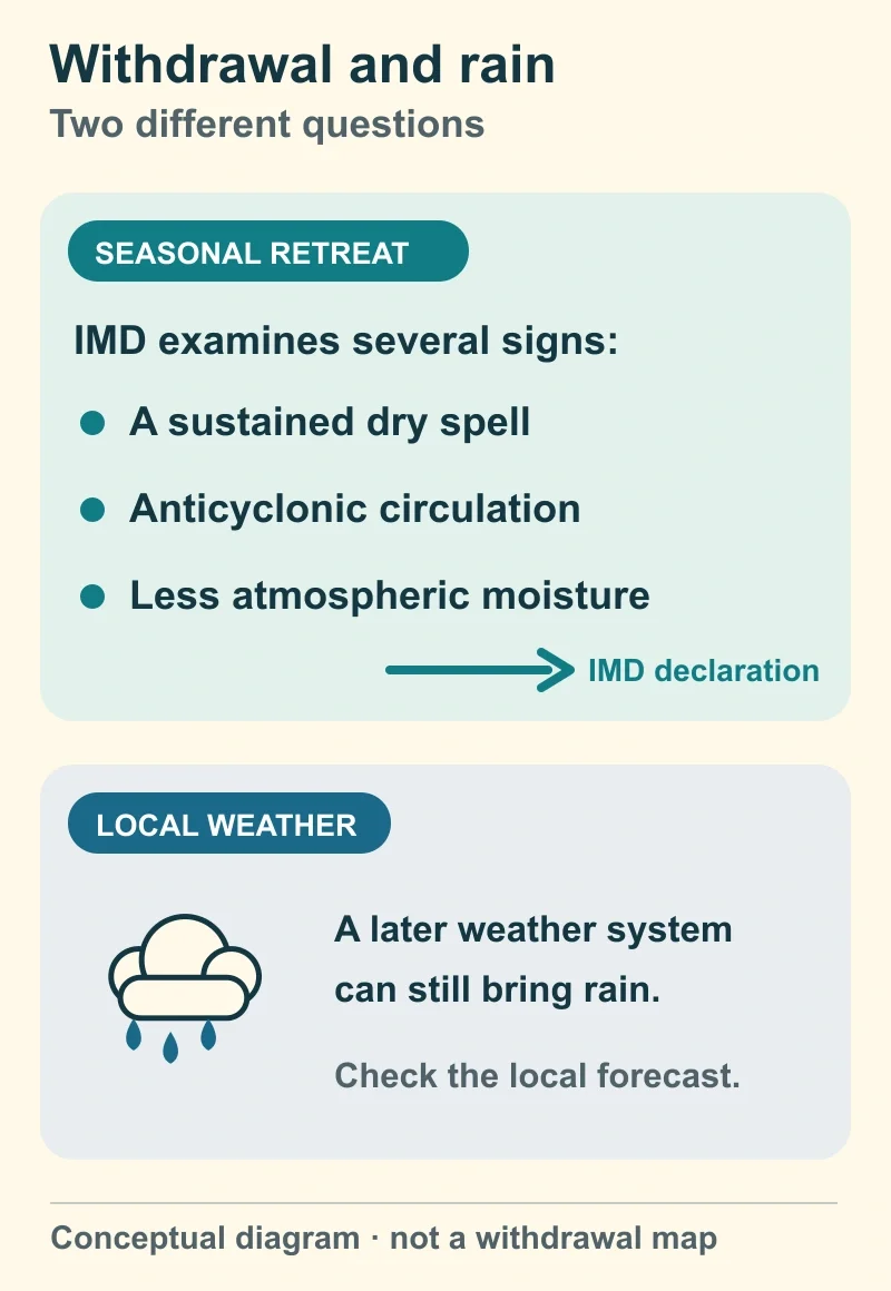
Conceptual guide to two different questions, based on IMD's withdrawal criteria. It is not a 2026 weather map or forecast. Diagram: BharatQuests.
What changed in October 2026?
IMD's 8 October extended-range report recorded withdrawal on 3 October from remaining parts of several northwestern and central states, and on 8 October from remaining Maharashtra and parts of Goa, Karnataka, Telangana, Odisha, Jharkhand and Chhattisgarh. The 10 October daily bulletin left the declared line in place and forecast further withdrawal in the east and northeast. IMD extended-range report, 8 October 2026; IMD daily bulletin, 10 October 2026.
The withdrawal line is a dated record of the seasonal change, not a boundary rain cannot cross. A local disturbance can still bring a shower. In the south and along the east coast, a later seasonal wind regime and Bay of Bengal weather systems can bring substantial rain after the southwest monsoon retreats. A wet day alone does not tell you which seasonal regime IMD has declared. NCERT, Chapter 4.
Which forecast should you use?
To follow the seasonal retreat, check the date on IMD's latest declared withdrawal line. For today's rain risk, use the local forecast and warnings for your place. The line tracks the broad monsoon circulation; the forecast tells you what weather may reach you. For a related regional example, see why Chennai receives much of its rain in October–December.