Why does the Rann of Kutch turn into a white salt desert?
Seasonal flooding covers a saline mudflat. As the water retreats and evaporates, a white crust emerges. Some areas dry before others.

Series: Why India Looks This Way
How can the same landscape be a wetland in one season and a white salt plain in another? The Rann of Kutch, in western India, changes with the arrival and loss of water. Its famous white surface is salt left on a muddy plain as saline water dries.
The contrast is visible from space. NASA’s satellite comparison from 2003 shows extensive standing water on 3 October and much drier ground on 10 May. The images show how much the surface can change between seasons.
A muddy basin with a marine past
The Rann includes the Great Rann and Little Rann. Much of it lies in Gujarat, with part extending into Pakistan. The bright salt crust can resemble snow, but the underlying landscape is a saline mudflat.
A 2017 sediment study in the Great Rann describes a largely filled-in shallow marine basin that remains connected to the Arabian Sea. Sediment accumulated in what had been a gulf. The researchers’ core near Dhordo contained mainly fine silt and clay, rather than the sand one might picture on hearing “desert”. Seawater can still enter the Great Rann and contribute salt.
Where does the water come from?
Monsoon rain contributes to the seasonal flooding. Seawater matters too: the Great Rann study describes strong southwest monsoon winds pushing Arabian Sea water into the basin. The rain helps flood the plain, while seawater supplies some of its salt.
Shallow water can spread widely across the low plain and remain for months. The researchers describe inundation extending into winter in the Great Rann. Wet mud, shallow water and exposed crust can occur in different places at the same time.
Why does drying leave a white surface?
Water can carry salts in dissolved form, even when separate crystals are not visible. As water evaporates, it changes into vapour and enters the air. The dissolved salts largely stay behind. NOAA’s explanation of seawater describes this same separation: evaporation removes water while leaving salt, increasing salinity.
As the surface continues to dry, salt can crystallise into the Rann’s pale crust. Heat and dry air help expose it after floodwater retreats.
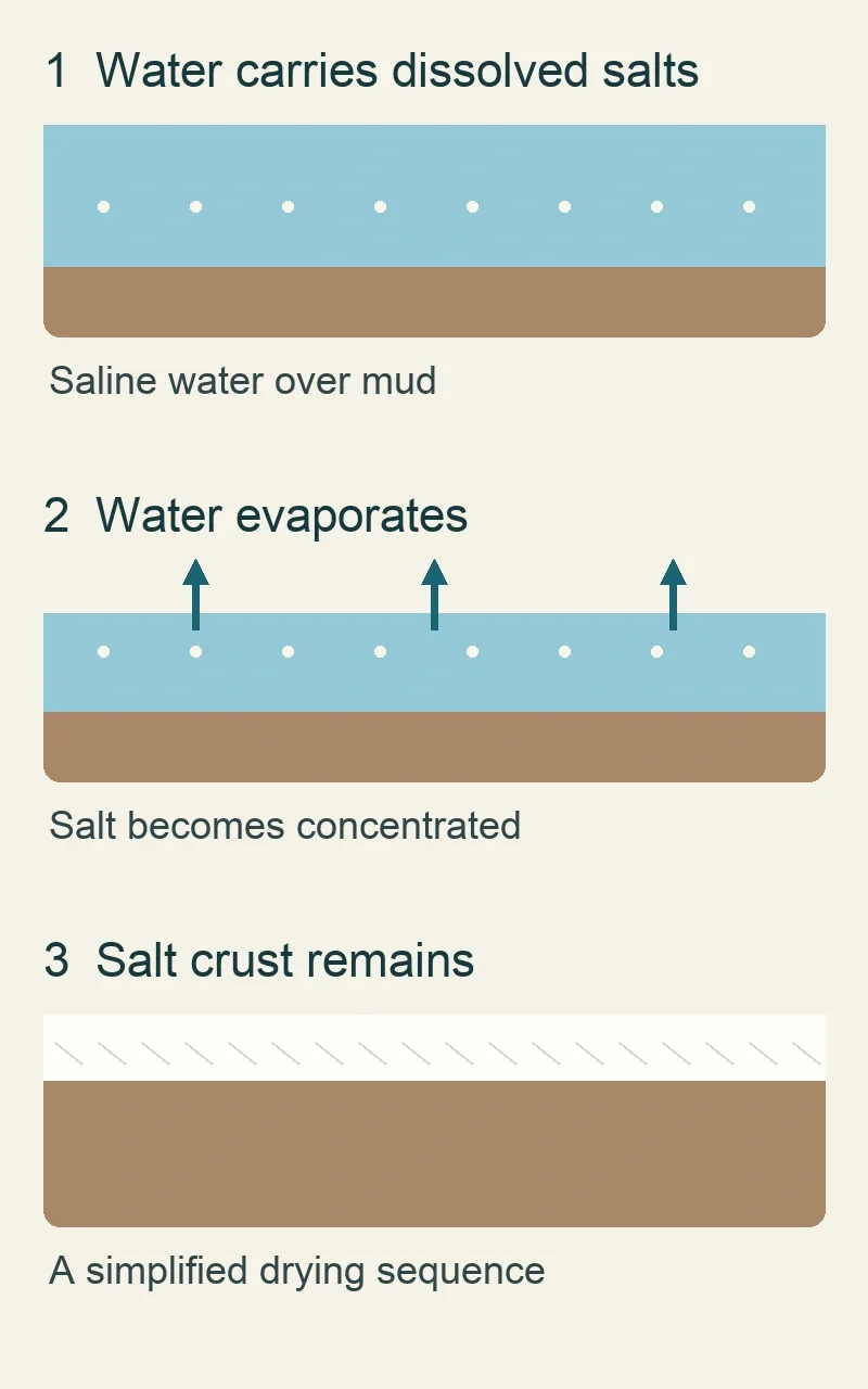
Simplified process, not a map or calendar: water carrying dissolved salts covers mud; evaporation concentrates the salts; drying exposes a crust. Sources: NOAA and the Great Rann study.
Is the Rann always white in winter?
There is no single drying date for every part of the Rann. ESA’s account of the region describes its white winter landscape and seasonal tourism. Yet the sediment study notes that water can persist into winter in the Great Rann. One place may have an exposed crust while another is still wet.
How does this shape people’s work?
Salt production uses the same basic separation deliberately. NASA’s account of the Rann describes salt farmers pumping briny groundwater into fields after floodwater retreats. Evaporation produces salt crystals in those managed areas. ESA’s satellite image also shows large engineered evaporation ponds and channels controlling water flow. Their straight edges distinguish managed salt fields from the larger seasonal marsh. For salt farmers, the timing of flooding and drying shapes when they can work the brine.